Blog
How does a surveyor determine the boundaries of a plot?
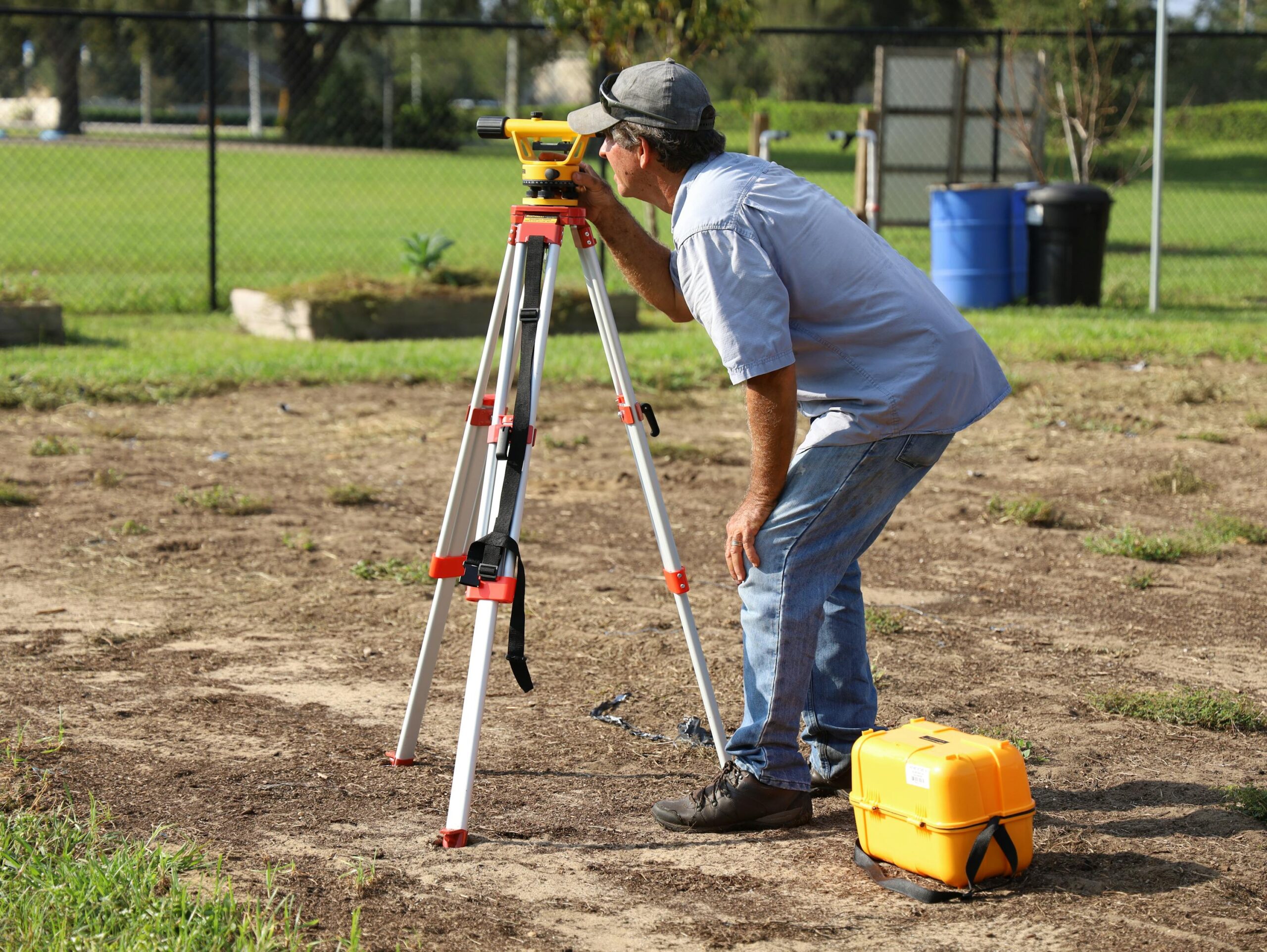
Buying a plot of land or subsequently fencing it and possible neighbour disputes over the course of its boundaries requires us to thoroughly verify the boundaries of the plot. Theoretically, checking the boundaries of the plot is not a difficult task. For this purpose, you need to find the so-called geodesic stones, which are located in all corners of the plot. Then even the most polygonal shape is possible to quickly and efficiently delineate. But what if there are no stones or if there are disputes? Then you should use the services of an authorized surveyor. What is he responsible for and how does the surveyor determine the boundaries of the plot?
Table of contents
- What is a surveyor responsible for?
- How does a surveyor determine the boundaries of a plot?
- Demarcation of plots by a surveyor
- How much does it cost to demarcate a plot of land?
What is a surveyor responsible for?
Generally speaking, a surveyor is a specialist in geodesy, i.e. a science whose purpose is, m.in others, to determine the location of points on the surface of the earth. In a more local context, the surveyor is responsible for determining the boundaries of plots, including placing boundary signs on them. Border lines should make the whole process easier for neighbors. Thus, if these stones are moved or destroyed, the surveyor is obliged to relocate them. Although the entity responsible for the correct location of the signs is the county office, the plot owners themselves must also take care of them by reporting any irregularities in this regard. The owner of the plot is also obliged to let a surveyor into the plot if there is a necessary intervention on his part.
How does a surveyor determine the boundaries of a plot?
The process of determining the boundaries of a plot by a surveyor requires extensive specialist knowledge. The concept of a plot of land is closely related to the right of ownership, therefore the determination of its boundaries must be based on law. Separation of the boundary line of plots by the surveyor consists in:
1. Precise location of all points and boundary lines;
2. Fixation of specific lines and points on the ground with the use of special boundary markings;
3. Preparation of detailed documentation of the plot boundaries in the form of detailed cadastral maps, basic or topographical, and even general geographical maps.
Prepared by a surveyor Division protocol is the basis for issuing an official decision on the boundary of plots.

Demarcation of plots by a surveyor
When determining the boundaries of the plot, the surveyor uses available maps, documentation, as well as the so-called geodetic control network points and the aforementioned boundary marks and traces. In the event of a dispute between neighbours about the demarcation of the boundaries, the authorised surveyor re-verifies the boundaries, and the entire demarcation process adopts the administrative procedure. After re-determining the boundaries of the plot, the surveyor strives to conclude an agreement between the parties to the dispute. An important question that arises at this point is whether the surveyor can change the boundaries of the plot himself? Well, no – even if he notices that the boundary points in the field have different coordinates than in the documentation, he cannot change the boundaries himself, without the consent of the authority keeping the records. On the other hand, if the surveyor’s findings do not satisfy all parties to the same extent, the administrative proceedings are discontinued, and the matter of re-separating the boundaries of the plot goes to court.
How much does it cost to demarcate a plot of land?
The costs of geodetic services vary both from the scope of the commissioned work and from the region where he performs his work. For example, the resumption of border markers costs from about PLN 1450 (Podkarpackie Voivodeship) to over PLN 1800 (Mazowieckie Voivodeship). In the current conditions, however, it is difficult to find a more precise price range for geodetic services, because their amount is also susceptible to dynamic price changes taking place in the general construction industry.
Read our article on checking plot boundaries to learn more!